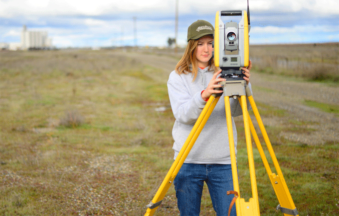
Some vital definitions in surveying

Surveying is the art to create horizontal measurements for finding out the relative position of several objects on the surface of the earth.
Objective of surveying - To work from the whole to the part, To determine the new station by minimum two methods
Categorization of surveying:
1. Geodetic surveying: It is also known as trigonometrically surveying. In this type of surveying, the curvature of the earth is taken into consideration. It handles long distance and large area. The joining line in earth is curved and develops arc of a two point great circle.
2. Plane surveying: Plane surveying handles small area and short distances. The curvature is the earth and it is not taken into consideration. The line that is attached in two points in earth surface is considered as a straight line. Geodetic surveying is more accurate with regard to plane surveying.
Classification of surveying on the basis of instruments applied:
a. Chain survey
b. Compass survey
c. Theodolite survey
d. Plane table survey
e. Tachometric survey
f. Photographic survey
g. Aerial survey
Categorization of scales:
a. Plain scales
b. Diagonal scale
c. Comparative scale
d. Vernier scale
Well conditioned triangle: It is described as there is no include angle is under 30 and more than 120. Equilateral triangle is the superior conditioned triangle.
Jargon in chain surveying:
a. Survey station
b. Base line
c. Chain line
d. Tie line
e. Offsets
Categories of chains applied in surveying:
a. Metric chain
b. Non metric chain
c. Gunter?s chain
d. Engineers chain
e. Revenue chain
To get more details, go through the following link www.learntocivilfield.com

Image Courtesy: bedrockeng.com

